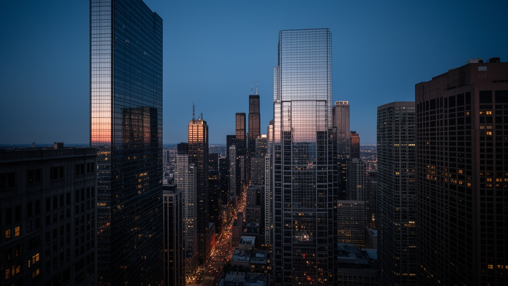
Chicago experienced a meteorological anomaly on Monday, October 12, as temperatures climbed to a scorching 88 degrees Fahrenheit. This peak significantly eclipsed the previous record of 84 degrees for the date, marking a rare and intense late-season heat event for the Midwest. However, the National Weather Service (NWS) has issued an urgent advisory: this summer-like surge is merely a precursor to a volatile weather shift. Residents are now bracing for a drastic, rapid drop in temperatures, with the region facing a potential frost by the upcoming weekend as a powerful cold front collides with the lingering warm air mass.
Key Highlights
- Record-Breaking Heat: Chicago officially reached 88 degrees on October 12, shattering the long-standing record of 84 degrees for the date.
- Impending Thermal Drop: Meteorologists warn of a sharp, rapid temperature decline following the heatwave, driven by an incoming Canadian cold front.
- Frost Advisory: The dramatic cooldown is expected to bring near-freezing temperatures by the weekend, posing risks to late-season vegetation.
- Infrastructure Impact: The extreme variance is putting unique strain on energy grids, which must transition rapidly from cooling to heating demands.
The Meteorological Whiplash: Analyzing Chicago’s Thermal Extreme
The events of this past Monday represent a classic, albeit extreme, case of “meteorological whiplash” in the Midwestern United States. While Chicago is accustomed to the volatility of October, an 88-degree reading sits well outside the standard deviation of historical climate data. For climatologists and meteorologists at the National Weather Service, this event highlights the tightening thermal gradients that can occur during the autumn transition.
The Mechanics of the Heat Spike
The record-breaking temperatures were primarily driven by a robust high-pressure system—often referred to as an ‘Omega Block’ or a persistent ridge—anchored over the central United States. This system acted as a heat pump, pulling warm, dry air from the southern plains directly into the Chicago metropolitan area. Because the atmosphere was dominated by this high-pressure ridge, cloud cover was virtually non-existent, allowing for maximum solar insolation. The combination of intense sunlight and south-westerly winds pushed the mercury to 88 degrees, a figure that is more common in late August than the middle of October.
The Cold Front Collision
Nature abhors a thermal imbalance. The very same atmospheric dynamics that allowed the heat to build have accelerated the arrival of a polar vortex-inspired cold front from the north. As the high-pressure system begins to break down, the dense, cold air from Canada is aggressively pushing southward. This creates a high-contrast boundary. When these two air masses meet—the remnant 80-degree air and the incoming sub-50-degree arctic air—it often results in significant pressure fluctuations and rapid temperature drops. For Chicago, this means the transition from summer-like conditions to potential frost is not a gradual cooling, but a sudden, violent atmospheric shift occurring over less than 72 hours.
Ecological and Infrastructure Impacts of Rapid Cooling




The primary concern for the upcoming weekend is not just the cold, but the velocity of the change. Nature is currently in a delicate state of transition. Trees, shrubs, and late-season garden crops are still processing the warmth of the early week. A sudden plunge into freezing temperatures, particularly if it crosses the 32-degree threshold, can result in cellular damage to plants that haven’t hardened off for winter.
Agricultural and Gardening Warnings
For local gardeners and urban farmers, this weekend represents a ‘must-protect’ scenario. If temperatures touch the freezing mark, sensitive flora—including annuals, herbs, and late-season vegetables like tomatoes or peppers—will likely succumb to frost damage. Experts recommend that residents cover sensitive plants with frost cloth or move containers indoors before Friday evening to mitigate the impact of the rapid temperature plunge.
Power Grid and Public Health
Beyond the garden, this drastic swing presents a unique challenge for public infrastructure. Chicago energy grids are currently in a transition phase. Many residences have not fully transitioned from cooling to heating modes. As temperatures plummet, the surge in demand for natural gas and electricity for heating will be immediate. This transition puts a non-trivial amount of stress on local utility providers, who must prepare for a spike in usage that mimics the intensity of a mid-winter cold snap.
The Climate Context: Is This the New Normal?
While weather records are broken regularly, the frequency of these extreme ‘flip-flop’ events has become a subject of intense study within the climate science community. In the Midwest, the influence of the Great Lakes adds another layer of complexity. Lake Michigan, which remains relatively warm in October, can sometimes act as a thermal buffer, modulating the temperature for areas immediately adjacent to the shoreline.
However, this buffer is often insufficient when faced with a continental-scale arctic blast. The question of whether these record-shattering anomalies are increasing in frequency is at the forefront of regional climate modeling. While one event does not prove a trend, the data from October 12 serves as a stark reminder of the energy currently present in the atmosphere. The 88-degree record stands as a testament to the power of high-pressure systems, but the impending frost is a humbling reminder that winter in the Midwest is never far away.
FAQ: People Also Ask
Q: How often does Chicago hit 88 degrees in October?
A: It is exceptionally rare. Reaching 88 degrees on October 12 is a significant statistical outlier. Historical data shows that October highs in Chicago typically hover in the 60s and 70s, making an 88-degree day a major historical anomaly for the region.
Q: Will the frost damage my garden?
A: If the temperature drops to 32 degrees or lower, frost damage is highly likely for non-hardy plants. You should take preventative measures, such as covering outdoor plants with lightweight fabric or moving containers inside, to protect them from the sudden onset of freezing conditions.
Q: Why does the weather switch so fast in the Midwest?
A: The Midwest acts as a crossroads for air masses. Because there are no major mountain ranges to block air flow between the Canadian Arctic and the Gulf of Mexico, the region is uniquely susceptible to rapid changes when cold and warm fronts collide.
Q: Should I turn on my furnace yet?
A: Yes. Given the forecast for a rapid temperature drop to near-freezing, it is prudent to test your heating system now to ensure it is functioning correctly before the weekend freeze hits.