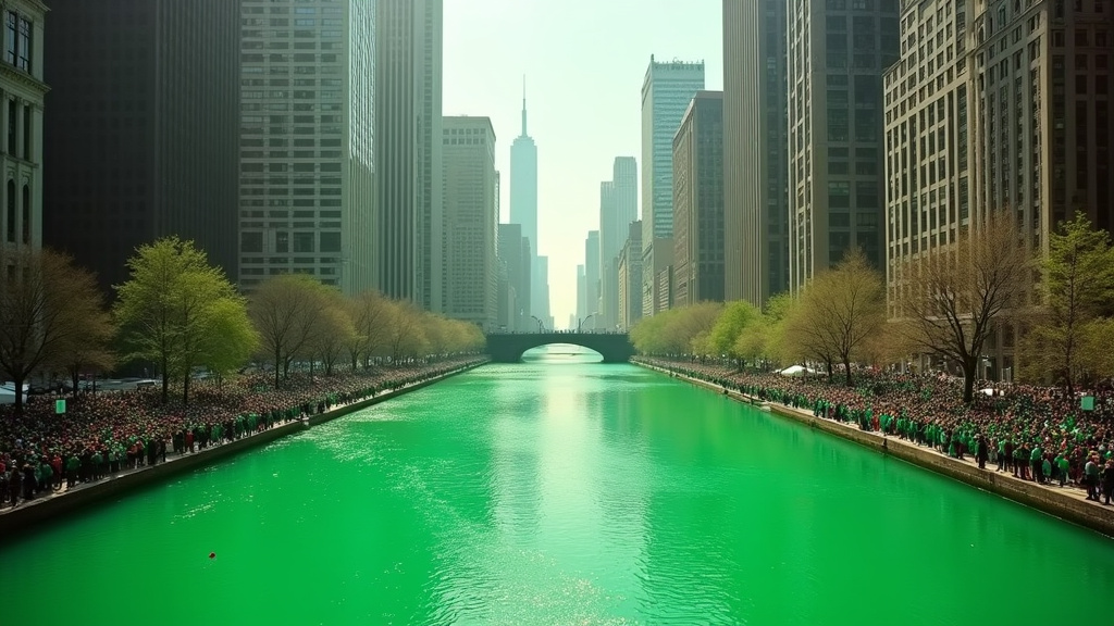
The historic park and boulevard system in Chicago, a 26-mile network designed to stitch together neighborhoods and enhance urban life, now stands as a potent symbol of the city’s stark divides. This iconic network of **Chicago boulevards** was once envisioned as a unifying green infrastructure, but today, these tree-lined parkways are increasingly revealing how investment, climate resilience, and social equity are unevenly distributed across the metropolis. The story of **Chicago boulevards** is a critical headline for understanding modern Chicago.
A Legacy of Green Vision for Chicago’s Boulevards
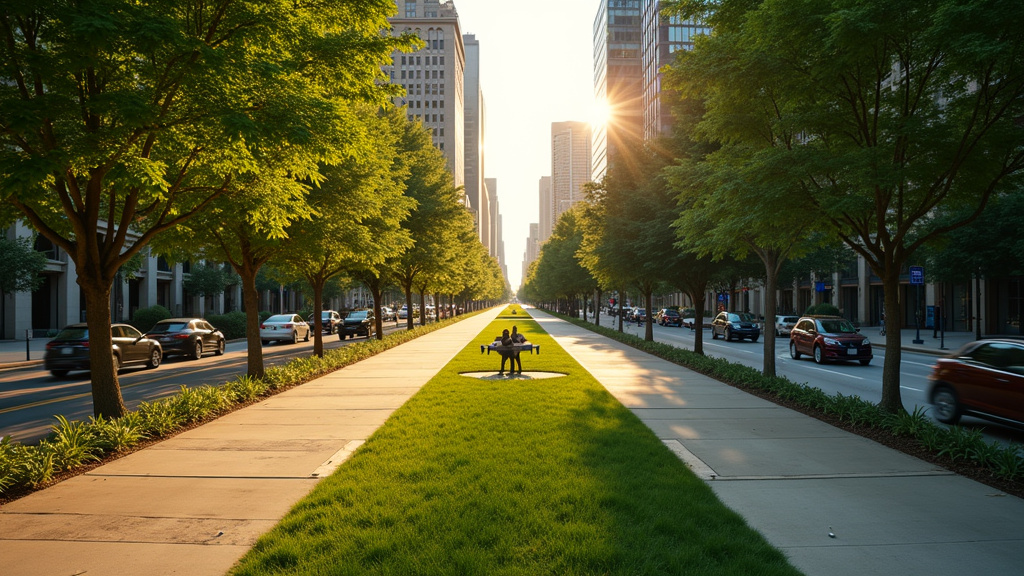
The sprawling network of **Chicago boulevards**, conceived in the mid-19th century and largely developed through the early 20th century, was a pioneering effort in urban planning. Designed by luminaries like Frederick Law Olmsted, Calvert Vaux, and William Le Baron Jenney, this system aimed to create a “ribbon of parks and pleasure drives” encircling the city. Its primary goals were to provide residents with access to nature, improve air quality, and manage stormwater, thereby mitigating the urban heat island effect and reducing flooding. Today, significant portions of this system are recognized on the National Register of Historic Places, a testament to its enduring design and importance as historic boulevards Chicago.
Climate Resilience and Chicago Boulevards: An Unevenly Distributed Benefit
As Chicago grapples with the intensifying impacts of climate change, including more frequent heatwaves and heavier rainfall, the original design of the boulevards offers a crucial blueprint for adaptation. The dense tree canopies and expansive green medians naturally cool urban temperatures and absorb excess stormwater, easing pressure on the city’s aging drainage systems. Data indicates Chicago is experiencing more sweltering days annually, with rainfall intensifying significantly in recent years. While the city has initiated programs like the Boulevard Enhancement Project to upgrade specific segments and incorporate green infrastructure, the benefits are not uniformly experienced across the **Chicago boulevards** system.
The Stark Divide: Where Investment Stops on Chicago’s Boulevards
A journey along Chicago’s boulevards reveals a tale of two cities. In affluent neighborhoods like Logan Square, boulevards are characterized by lush, well-maintained trees, broad sidewalks, and ample shade, creating an oasis of calm and coolness. These areas often benefit from significant public and private neighborhood investment. However, mere miles away, stretches like Western Boulevard present a different reality: cracked pavements, scattered trees offering little shade, and medians overwhelmed by traffic, exacerbating urban heat and flooding. This disparity is deeply rooted in decades of disinvestment and systemic inequities that have disproportionately affected Black and Latino communities on the South and West Sides of Chicago, highlighting significant urban inequality Chicago.
Research into Chicago’s wealth distribution highlights a widening gap, with wealthy tracts concentrated on the North Side and low-income areas predominantly on the South and West Sides. The **Chicago boulevards**, intended to connect, now underscore these geographical and economic divisions. While community-led initiatives in areas like Garfield Park have worked to enhance local green spaces, the underlying infrastructure and investment levels of the **Chicago boulevards** system often lag significantly behind their more well-funded counterparts.
The Specter of Green Gentrification Along Chicago Boulevards
As neighborhoods see improvements in their green infrastructure, a concerning trend known as “green gentrification” emerges. This phenomenon occurs when environmental amenities and climate resilience upgrades increase property values and rents, leading to the displacement of long-term, lower-income residents and minority communities. Logan Square, while boasting well-kept boulevards, is also cited as one of Chicago’s most gentrified neighborhoods, illustrating the paradox where environmental improvements can accelerate displacement. This is particularly true in historically underserved areas, where greening efforts, if not coupled with robust affordability measures, can inadvertently push out the very communities they are meant to serve, exacerbating social equity urban issues.
Reimagining the Future of Chicago’s Green Spine: Equitable Chicago Boulevards
The 26-mile boulevard system remains a vital, albeit unevenly developed, asset for Chicago. Its potential to foster community, mitigate climate impacts, and enhance quality of life is immense. However, realizing this potential requires a conscious and equitable approach to investment and stewardship. Future urban planning must prioritize not only the ecological health of these green corridors but also the social and economic well-being of the communities they traverse. As climate challenges mount and urban inequality persists, the future of **Chicago boulevards** hinges on whether they can truly become shared spaces of resilience and opportunity for all residents, rather than monuments to a divided urban planning system.